In case you missed it, contested environments are the talk of the town.
Automated systems are great and all, but what happens when they’re jammed? How does a drone navigate when it falls out of comms? Well, Maxar Intelligence might just have the answer. Today, the satellite and geospatial intelligence company unveiled its Raptor Alternative Positioning, Navigation, and Timing (AltPNT) software, which uses 3D mapping to help automated systems navigate without GPS.
Out of sight: Most drones rely on GPS to navigate, which becomes a major problem when, for example, Russia aims a directed energy weapon at a drone over a battlefield in eastern Ukraine.
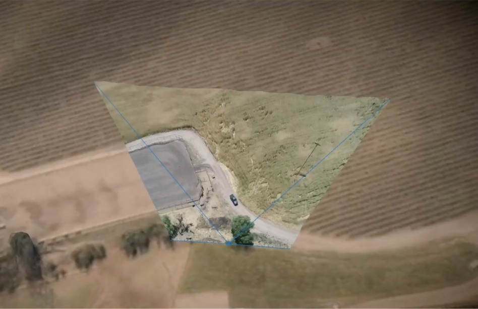
Maxar’s new Raptor tech creates a 3D model of the world that the drone can use as a backup for navigation when GPS goes dark. “You’re basically getting this living representation of the battle space, not in terms of video feed or pixels, but actually in terms of 3-dimensional structures,” Peter Wilczynski, Chief Product Officer at Maxar Intelligence, told Tectonic.
Raptor is comprised of 3 parts:
- Raptor Guide: a vision-based positioning system, which provided a location within 10m of GPS when tested on a Cessna, Wilczynski said.
- Raptor Sync: software that merges a drone’s real-time video with decades of Maxar geospatial data, creating a pretty accurate 3D rendering of the world.
- Raptor Ace: software that can be installed on a laptop that combines Maxar’s 3D map with a drone’s live feed in order to pull out coordinates (with an accuracy of <3m) for targeting and delivery.
Compared to a lot of alternative navigation systems, Raptor is pretty cheap and requires no extra hardware to install. That means no added payload. It also:
- Works well in environments where traditional maps struggle, including at night and in snowy conditions.
- Can work on most drones (Maxar says they’re collaborating with several unnamed drone companies), and is C2 system agnostic.
- Operates on a “continuous loop,” feeding video feedback into the system, which then improves the rendering and whatever C2 system the drone is operating on.
- Has been successfully tested in several countries, including one real-world situation where EW was being used, according to the company.
Wilczynski didn’t bristle when we called Raptor a backup system. He says he sees the software as one of the many inputs, GPS included, that allow drones to operate as best they can. “I think it’s really important to think about this as a resiliency layer for that core positioning algorithm,” he said.
Ch-ch-changes: Tectonic did ask Wilczynski what happens when battlefield conditions are changing rapidly. (Actually, if we’re being honest, we asked, “What happens when shit is blowing up left, right, and center?”) He said that while the video feed can be compromised by debris or smoke, the combo of Maxar satellite imagery with the drone’s camera feed means that the 3D map gets updated in a matter of hours.
Plus, “especially for reconnaissance situations, as opposed to kinetic situations, the broad landscape isn’t changing nearly as much as what you might imagine,” he said.
Raptor hasn’t been scooped up by the DoD just yet, but Maxar told Tectonic it’s working both directly with drone companies and with AltPNT programs in the Pentagon to get it adopted.