Vantor Integrates With Google’s Earth AI Model
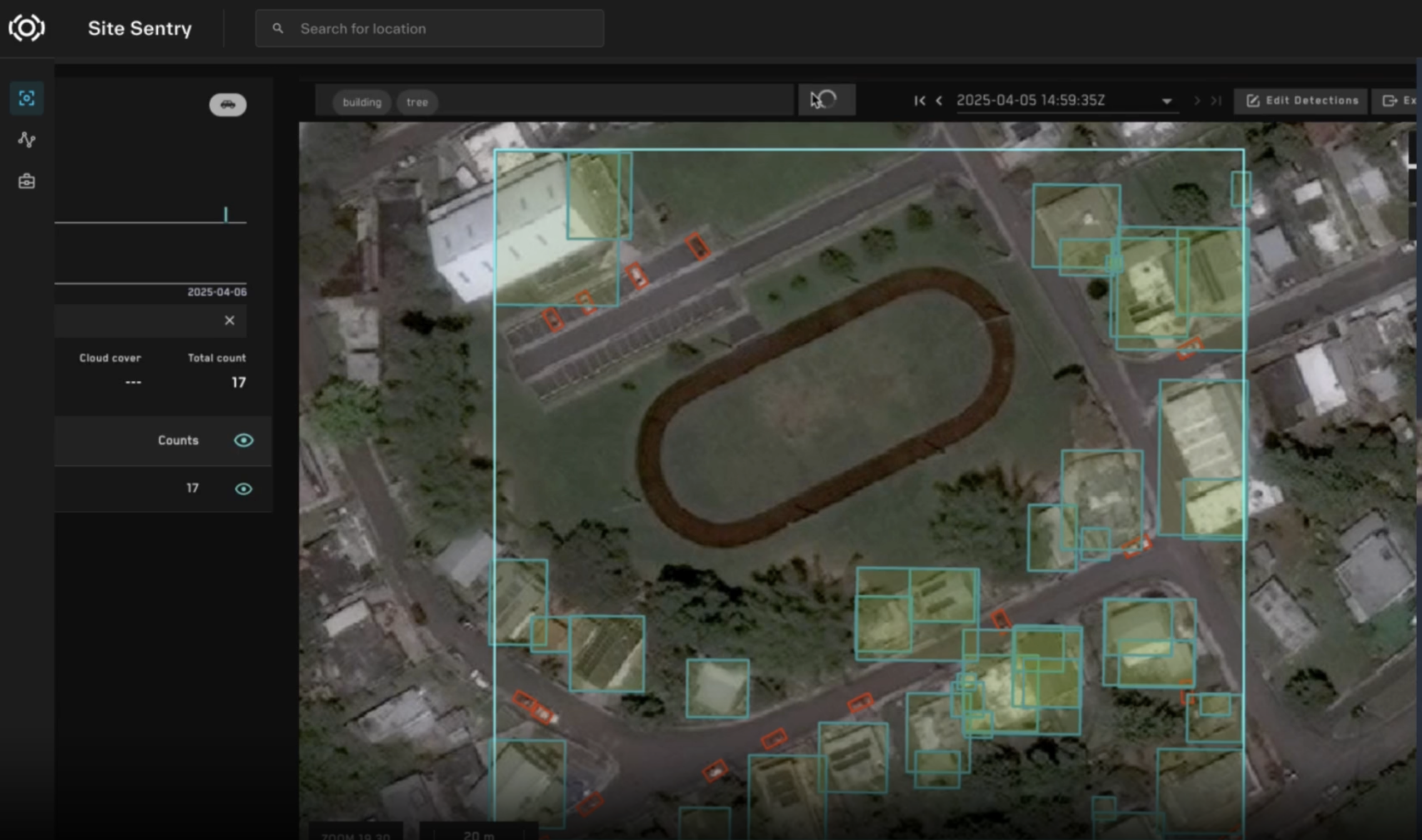
Vantor’s satellite imagery just got a whole lot smarter with some help from their friends at a little startup called Google. Yesterday, Vantor (the artist formerly known as Maxar Intelligence) announced a deal with Google to run Google’s Earth AI imagery models on Vantor’s government-focused, spatial intelligence platform, allowing Google’s AI to automate analysis reports […]