Well, lest you were concerned that the defense tech money tap was getting switched off, fear not.
Space-based radar company Array Labs announced in an exclusive release to Tectonic today that it’s raised a $21M strategic funding round anchored by Japanese conglomerate Mitsubishi Electric Corporation.
- Array Founder and COO Isaac Robledo told Tectonic that Mitsubishi will be a “strategic partner of [theirs] in the Asia Pacific region moving forward.”
- Worth noting that Mitsubishi Electric does a lot of work in defense, radars, space, and satellite tech, in addition to all that fun electric and manufacturing stuff.
Array Labs just raked in a $20M Series A back in January. Robledo said they’d use this new pile o’ cash to scale their team, expand in the Indo-Pacific with Mitsubishi, and explore new applications for their space-based radars and radar-satellite buses.
Far out: Now, our friends who read Payload will be familiar with Array, but they’re less of a household name in these here defense tech parts.
- The company was founded out of the Y Combinator accelerator program back in 2022 and set out to design powerful, lower-cost radar satellites that could 3D-map the Earth. Achievable goals, etc.
- They raised a $5M seed post-YC, then a $10M pre-Series A in 2024.
- Most of the team hails from Apple, Google, Broadcom, Northrop, and Nvidia. They’re currently at 50 employees and planning to scale to 70 by the end of the year.
- They launched two test radar-satellites in 2024, and are planning two more launches in April (one satellite) and October (a four-satellite cluster) of next year. They’re also planning two payload launches (like, sending their radar up on another company’s satellite) for mid-2027.
Pack it in: Here’s how their set-up works:
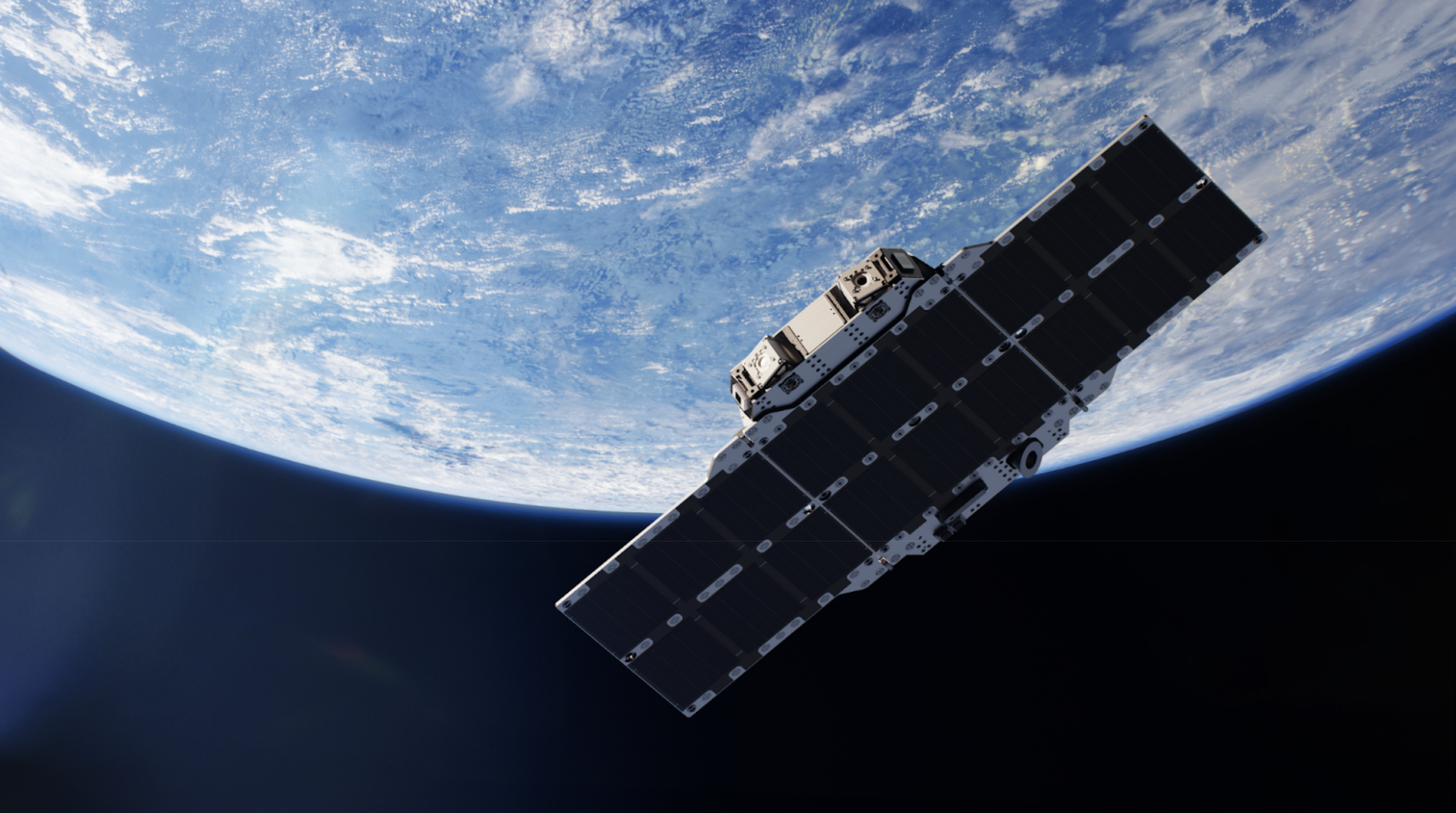
- Array has designed a roughly suitcase-sized radar-satellite that is “much higher power and much lower cost than traditional systems,” co-founder and CEO Andrew Peterson told Tectonic in January.
- The satellite has a radar on one side and a fold-out solar array on the other, which can produce a whopping four kilowatts of power. Each one costs in the “single-digit millions” (comparable to other commercial satellites, but with, like, way more power).
- They’re kind of doing the drone swarm thing, but for satellites. Array’s radar-sats work together as part of a cluster—each one captures images and radar data from different angles, then the company’s software knits it all together into one, nice, clean 3D map. Right now, those maps have a latency of about 30 minutes, but the company is working to get that down.
- In January, Peterson told us the satellites will go up in clusters of four or more—the more you have, the more powerful they are (both in terms of imagery and actual wattage).
And the government has shown some serious interest—so far, Array’s scored contracts with the Air Force, Space Force, Navy, Army, SOCOM, and DARPA. Total contract value is in the “eight figures,” per a YC post in January.
Map it out: Now, last time we covered Array, they were focused pretty squarely on 3D mapping—using imagery and radar data from the satellites to create those close-to-real-time maps of the world. But now, they’re thinking even bigger.
“As the company has matured, as we’ve talked to some of our customers both on defense and the commercial side, it became clear that what we were building could help fulfill a number of different missions and different mission sets,” Robledo said.
Here’s what those mission sets look like now:
- 2D imaging: Pretty straightforward. Taking pictures of the Earth. You get it.
- 3D mapping: That knitting-together of images and radar data into a 3D map that we mentioned above. This is useful for situational awareness, mission planning and simulation, and helping autonomous and unmanned systems navigate.
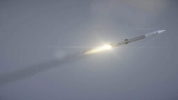
- Airborne Moving Target Indication (AMTI): The radar-based effort to detect, track, and target moving objects in the air like aircraft and missiles. This is being spearheaded by the Space Force and would be a key part of a little group project known as the Golden Dome. This is new territory for Array.
“Our customers are excited about the ability to do more than just 2D imaging,” Robledo said. “Think 2D imagery, 3D radar imaging, AMTI…space domain awareness, and there are other use cases that we will be talking about here soon.”
They’re already working on all of this in the US, but the partnership with Mitsubishi will expand the services into Japan, as well.
“I think we’re looking at [this raise] as a way to scale the team, and also the ability to go answer certain mission opportunities, whether that’s on IRAD dollars…or on behalf of a customer,” Robledo added. “Now we have the flexibility to pursue some of these other opportunities.”